Skogressurskart (SR16)

SR16 er et heldekkende datasett som gir oversikt over utbredelsen og egenskaper ved landets skogressurser.

kubikkmasse - granskog
Tett granskog. Foto: John Yngvar Larsson / © NIBIO
 

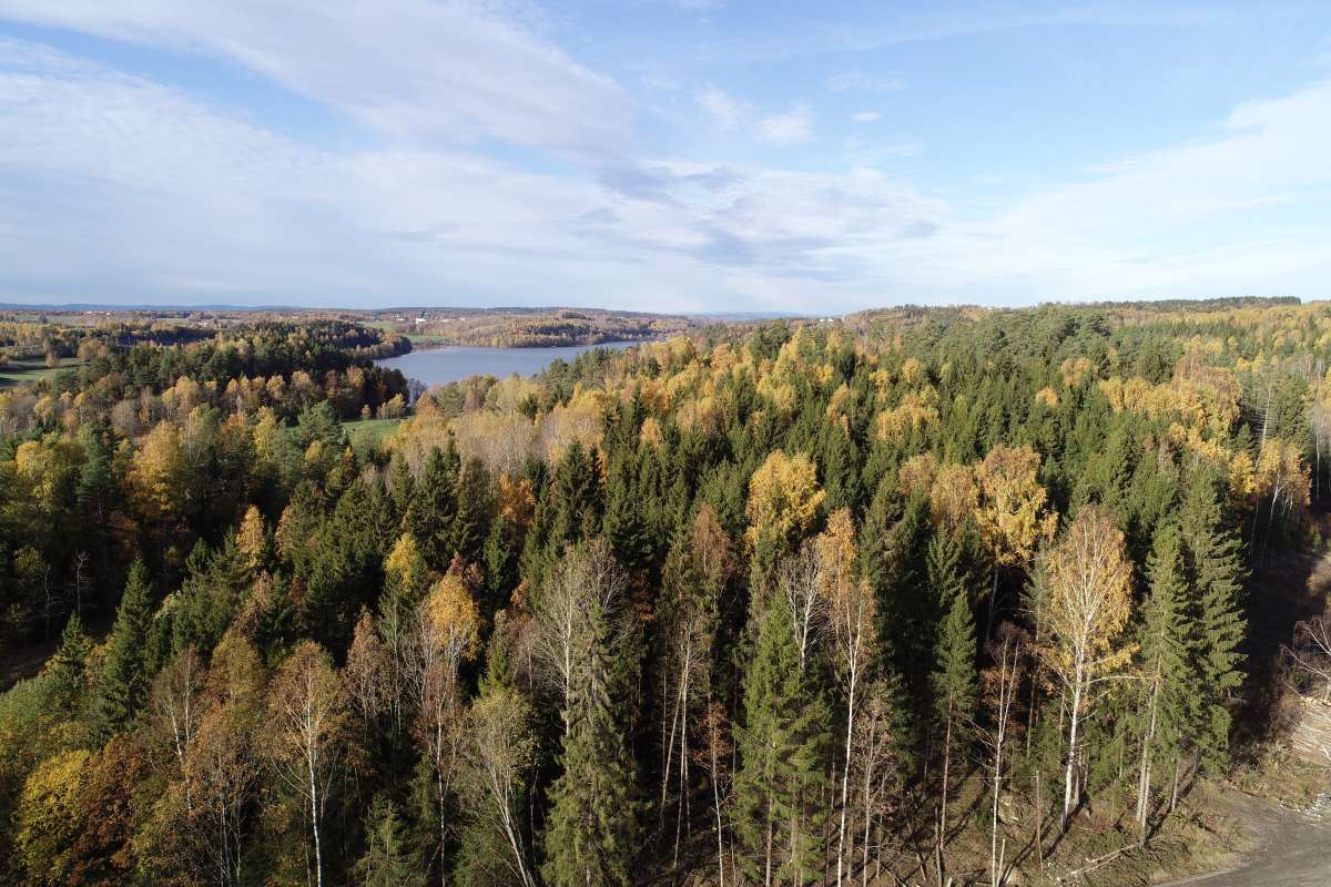
SR16 er et skogressurskart som blir produsert både som rasterkart (SR16R) og som vektorkart (SR16V). Kartet viser utbredelsen av skogen, og gir detaljert informasjon i form av ulike skogegenskaper - som treslag og volum.


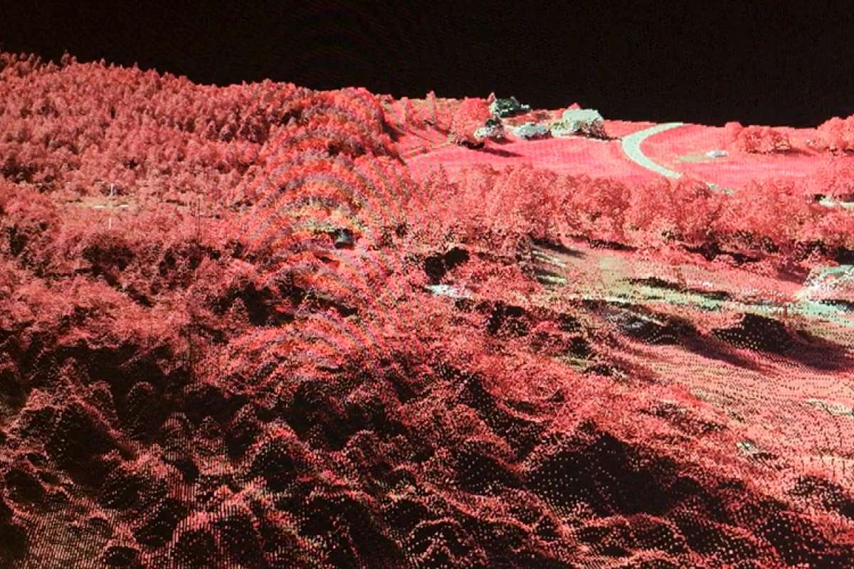
Datasettet er fremstilt gjennom automatisk prosessering av 3D fjernmålingsdata (fotogrammetri og laser), terrengmodeller, satellittdata, eksisterende kartdata (AR5) og data fra Landsskogflater. Laserinformasjon fra norsk detaljert høydemodell og Sentinel-2 data er viktige grunnlagsdata i produksjonen av SR16. 


SR16 Produktark

versjon: 29-mai-2024

0.274 MB pdf

Publikasjoner

Sammendrag

This paper describes the development and utility of the Norwegian forest resources map (SR16). SR16 is developed using photogrammetric point cloud data with ground plots from the Norwegian National Forest Inventory (NFI). First, an existing forest mask was updated with object-based image analysis methods. Evaluation against the NFI forest definitions showed Cohen's kappa of 0.80 and accuracy of 0.91 in the lowlands and a kappa of 0.73 and an accuracy of 0.96 in the mountains. Within the updated forest mask, a 16×16 m raster map was developed with Lorey's height, volume, biomass, and tree species as attributes (SR16-raster). All attributes were predicted with generalized linear models that explained about 70% of the observed variation and had relative RMSEs of about 50%. SR16-raster was segmented into stand-like polygons that are relatively homogenous in respect to tree species, volume, site index, and Lorey's height (SR16-vector). When SR16 was utilized in a combination with the NFI plots and a model-assisted estimator, the precision was on average 2–3 times higher than estimates based on field data only. In conclusion, SR16 is useful for improved estimates from the Norwegian NFI at various scales. The mapped products may be useful as additional information in Forest Management Inventories.