Wenche Dramstad
Avdelingsleder/forskningssjef
(+47) 906 44 113
wenche.dramstad@nibio.no
Sted
Ås - Bygg O43
Besøksadresse
Oluf Thesens vei 43, 1433 Ås (Varelevering: Elizabeth Stephansens vei 21)
Vedlegg
CVBiografi
Jeg er utdannet naturforvalter (1990), og har en doktorgrad i landskapsøkologi fra NMBU (1997). Som landskapsøkolog er jeg spesielt opptatt av landskapets innhold og romlige struktur; hvordan landskapet fungerer som en mosaikk der ulike arealtyper og landskapselementer er geografisk fordelt, hvilken kvalitet de har og hvordan de endres over tid.
Jeg har jobbet i mange år med tilstand og endring i jordbrukslandskapet, med spesiell fokus på hvordan endringer i landskapets utforming kan ha betydning, for eksempel for biologisk mangfold og hvordan vi opplever landskapet. Dette inkluderer blant annet utvikling og drift av overvåkingsprogrammet for jordbrukets kulturlandskap, det såkalte 3Q-programmet, og indikatorer som kan brukes til å overvåke endringer.
Jeg kan dessuten litt om humler, litt om romlige analyser og GIS, er opptatt av jordvern og jordbruk, samt arealplanlegging. Jeg er medlem av Executive Commitee i IALE-Europe.
Jeg er professor II ved NMBU, der jeg underviser i landskapsøkologi (LAA370) og av og til veileder studenter med bachelor- eller masteroppgaver.
Sammendrag
Det er ikke registrert sammendrag
Forfattere
Martina Fernandez-Campo Beatriz Rodríguez-Morales Wenche Dramstad Wendy Fjellstad Emilio R. Diaz-VarelaSammendrag
The main objective of this work was to analyse how increased harvesting for bioenergy production might affect other Ecosystem Services (ES) in two Norwegian municipalities (Ringsaker and Voss). The aim was to identify locations where synergies or conflicts between ES could be expected. The spatial distribution of eight different ES (3 provision, 3 regulation and 2 cultural services) was modelled using information provided by land use spatial databases and additional data sources. Model parameters were set by integrating existing research and expert knowledge. Maps showing the level of provision of ES were analysed using a moving window to analyse scale dependence in the spatial distribution of ES provision. Map algebra was then used to identify areas providing multiple ES, thus defining the most important areas on which to focus the management of both synergies and trade-offs. Finally, specific ‘binary bundles’ maps, where bioenergy provision was compared with each of the other ES, were developed. The methodology proved its utility to assess the compatibility of bioenergy uses with other services. This straightforward approach is readily replicable in other regions and can be used as a decision support tool for planning and designing provision areas, and to ensure sustainable forest management approaches.
Forfattere
Wenche DramstadSammendrag
Det er ikke registrert sammendrag
Forfattere
Wenche Dramstad Wendy Fjellstad Geir-Harald Strand Henrik Forsberg Mathiesen Gunnar Engan Jogeir N. StoklandSammendrag
Det er ikke registrert sammendrag
Sammendrag
Gjengroing av område som tidlegare vart slått eller nytta som beite er ein av årsakene til at seminaturlege naturtypar er raudlista. Dette er ein stor trugsel for arter som til dømes solblom, dragehode og mogop.
Sammendrag
Det er ikke registrert sammendrag
Sammendrag
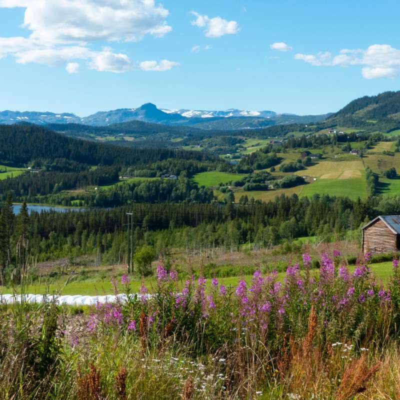
In modern agricultural landscapes, «the green in between» plays a crucial role in supporting the survival of many plant and animal species. These areas include field margins, grassy banks between fields, mid-field islands of uncultivated vegetation, rocky outcrops, fallow land, and other patches of unused ground. We surveyed vascular plant species in these green spaces and compared the results with a similar survey conducted 18 years earlier. Our findings reveal a general decline in species richness, including many plants important for pollinators. Nevertheless, numerous green patches remain species-rich and continue to provide valuable resources for pollinators. Among these, road verges stood out as the most diverse. This suggests that active management of the green in between—such as removing invasive species and implementing regular mowing to maintain flower-rich patches—could significantly enhance its value for wildlife and biodiversity conservation.
Divisjon for kart og statistikk
Integrering av klima, miljø og folkehelse i det norske matsystemet for å vurdere effektive, trygge og akseptable politiske alternativer
Norges matsystem utfordres ikke bare av interne målkonflikter, men også av økende ambisjoner knyttet til landbruk og mat fra andre politikkområder. Utslipp av klimagasser fra landbruket må reduseres, tap av natur og biologisk mangfold må stanses, og nye kostholdsanbefalinger forventes å flytte kostholdet mot mindre kjøttforbruk og -produksjon.