Sample-Based Mapping
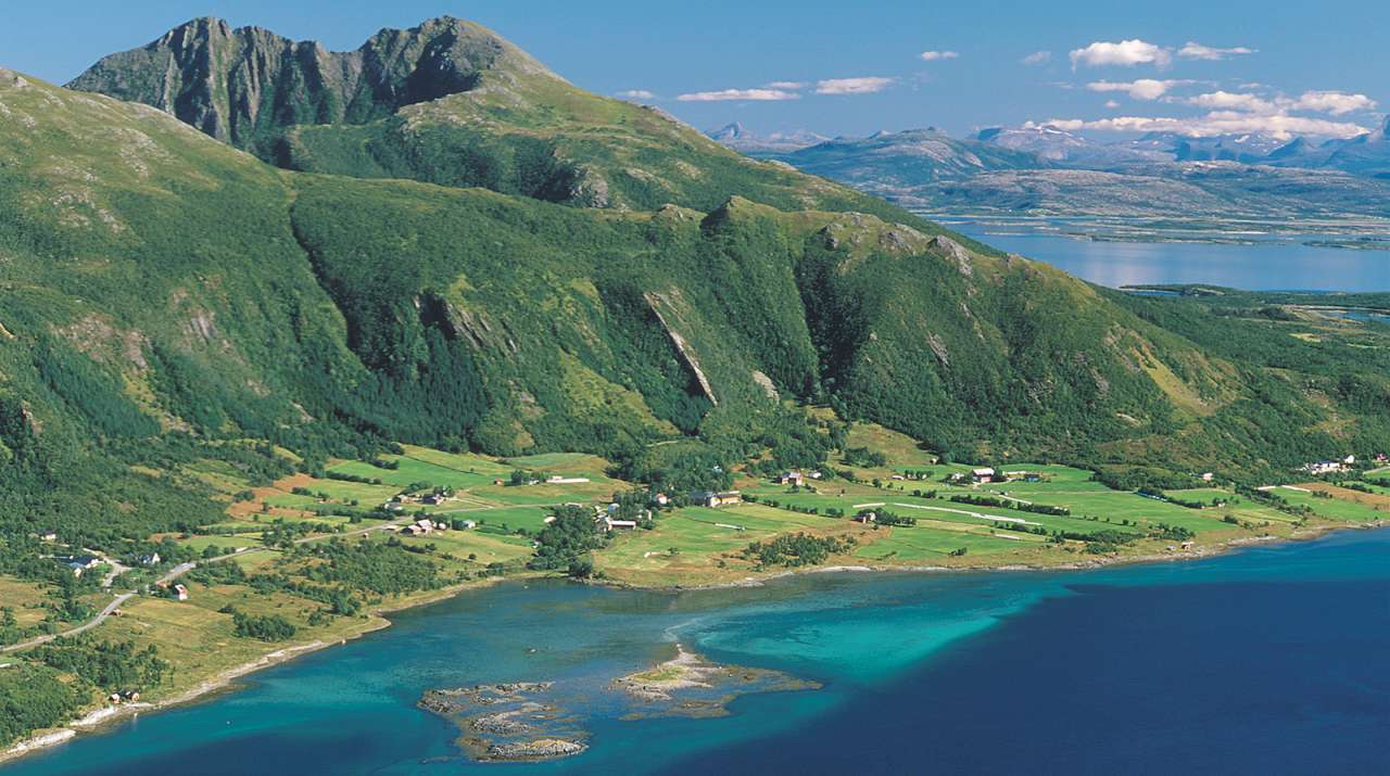
The 3Q Programme is based on mapping a random selection of 1x1 km squares distributed across the entire country. These maps are analysed, and the results from the sample are used to calculate indicators for the agricultural landscape across Norway—often broken down into larger units such as counties or agricultural regions.
Landscape structure
Most 3Q indicators are related to landscape structure, including the area of different land types, length of linear features (like stone walls or ditches), and number of point features (such as solitary trees or farm ponds), as well as how these elements are distributed across the landscape. Examples of indicators include field size, amount of field edge relative to area, land types within 10 metres of water edges, and the number of small biotopes within fields.
Cultural Heritage and Biodiversity
Cultural heritage sites and environments are mainly monitored by observing the condition and changes in the landscape in and around known locations. Biodiversity is also monitored through its connection to landscape structure - by looking at the quantity, distribution, and variety of different habitat types.
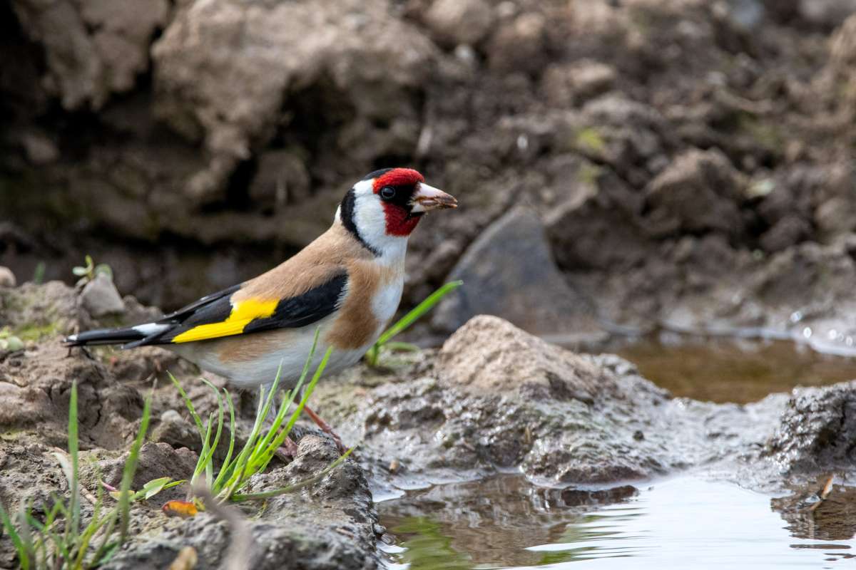
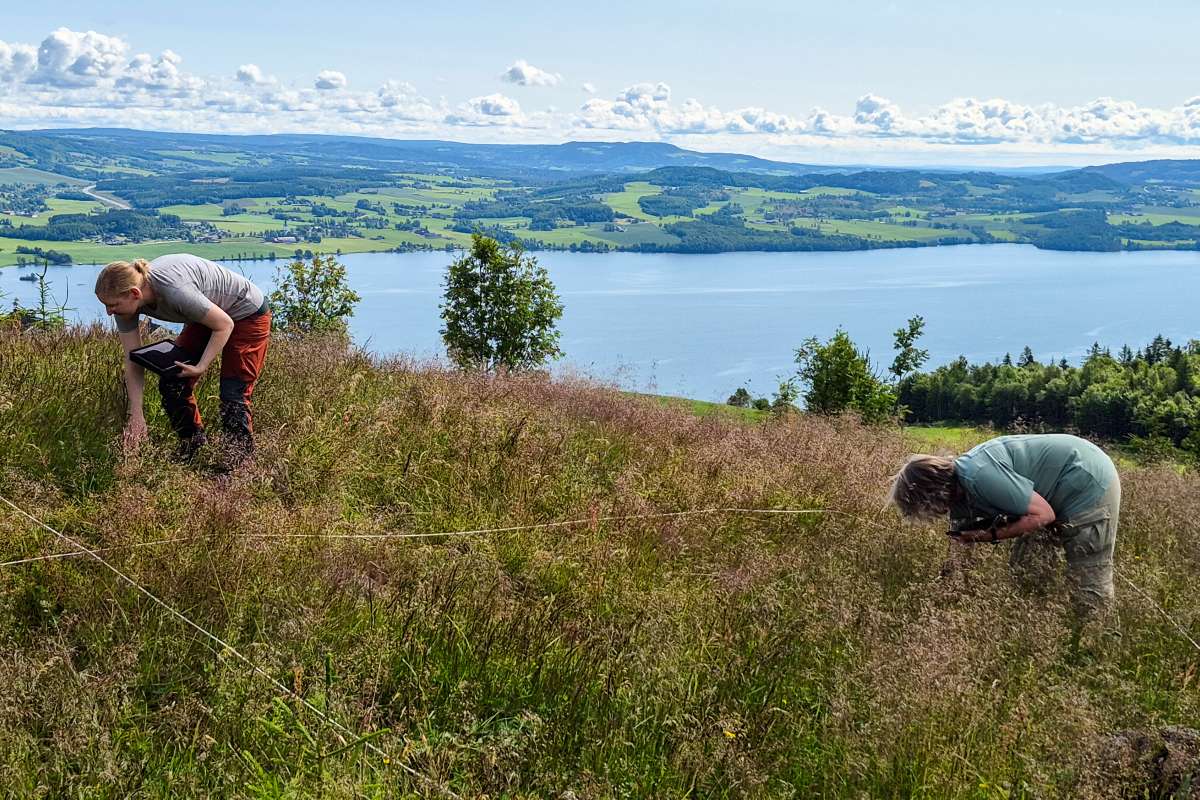
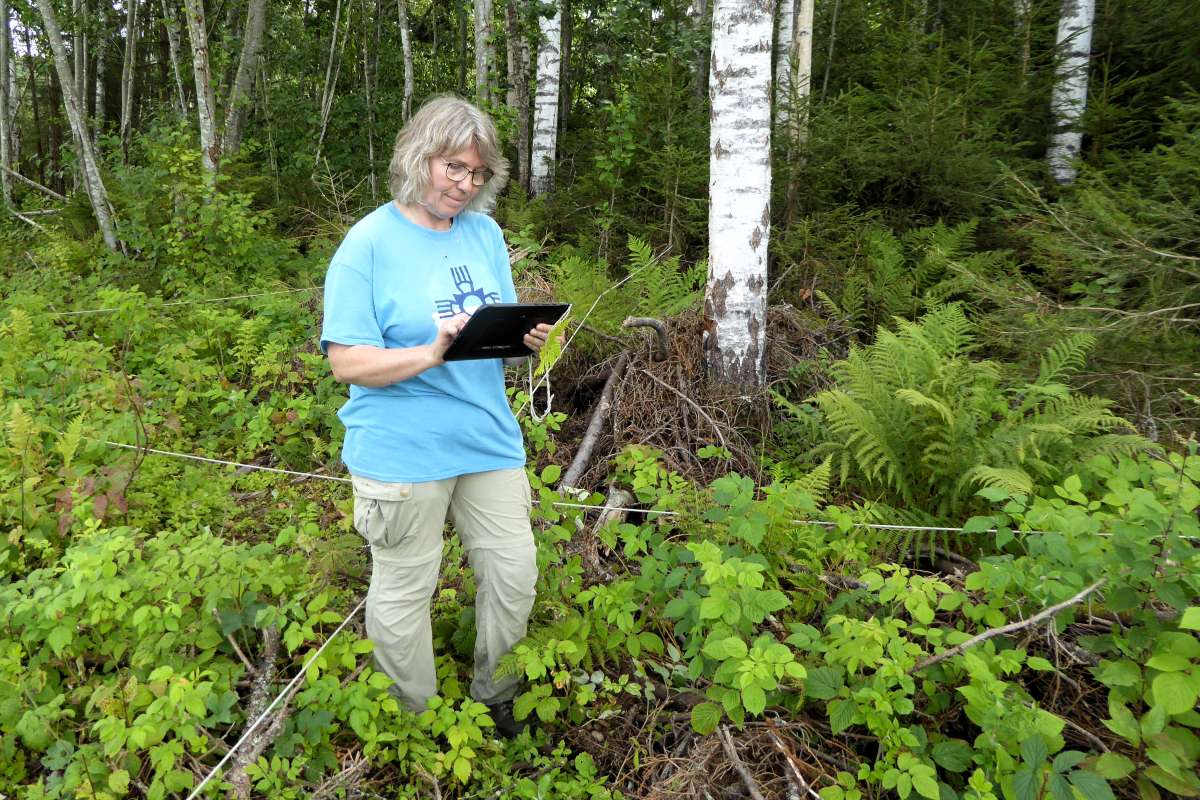
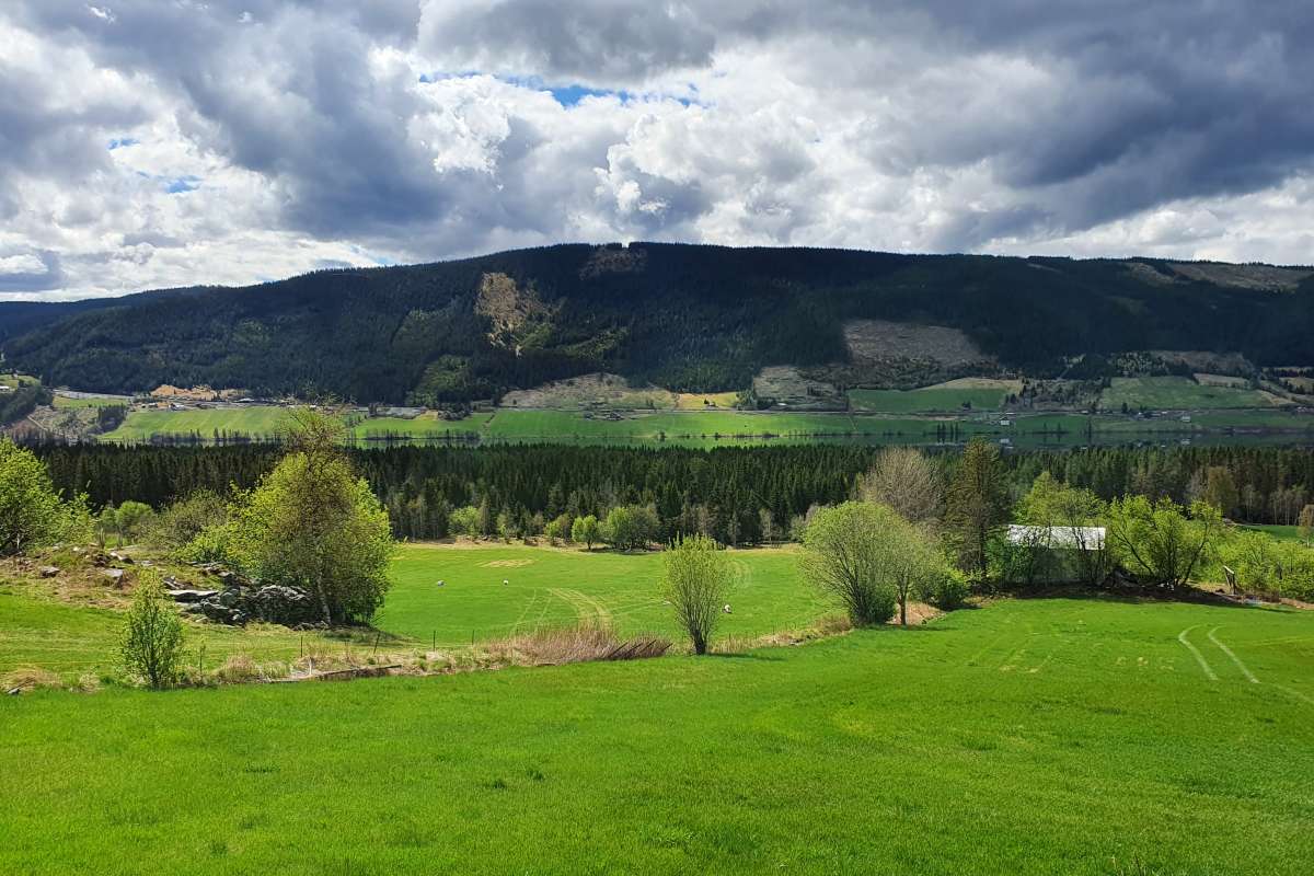
Since monitoring from aerial photographs has limitations for these topics, fieldwork is also carried out at a selection of monitoring squares. This includes recording buildings and other cultural heritage features, surveying birds in collaboration with BirdLife Norway, and recording vascular plants in pastures and semi-natural grasslands. In addition, a selection of both landscapes and individual landscape features are photographed to capture the visual aspects of the agricultural landscape. Every field observation is linked to geographic coordinates, so the exact same locations can be revisited to track changes over time.
Relevance to society
The 3Q Programme provides a knowledge base for use in the annual agricultural negotiations, as well as in the development, implementation, and follow-up of national agricultural policy. It also supports reporting to international organisations such as the OECD. The indicators are relevant for regional policy, land management, and spatial planning. They are also well suited for further research on land use and land condition, biodiversity, cultural heritage, and human experience of farming landscapes.