Fortellingen om folka og landskapet
Publisert 19.11.2019
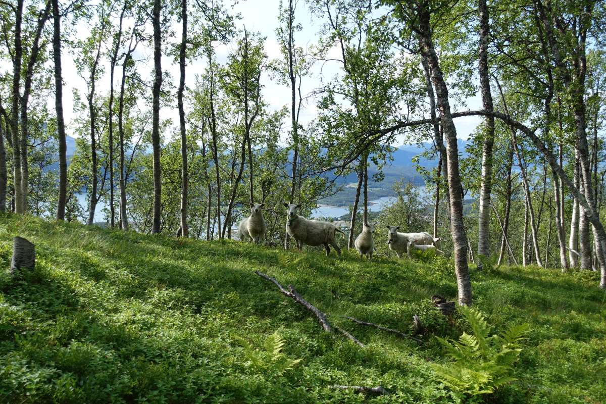
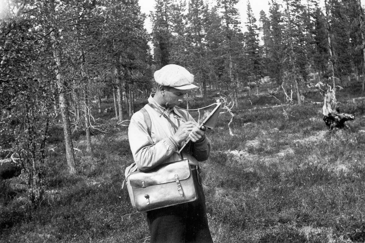
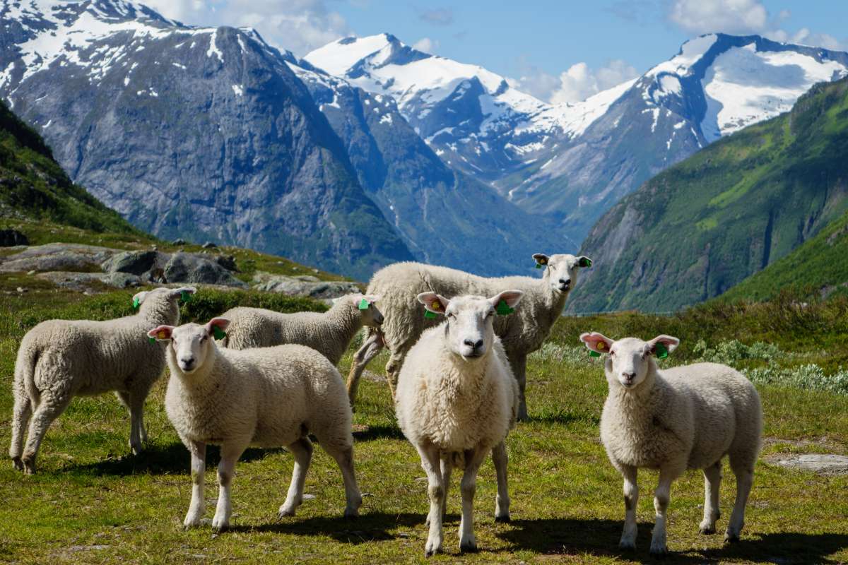
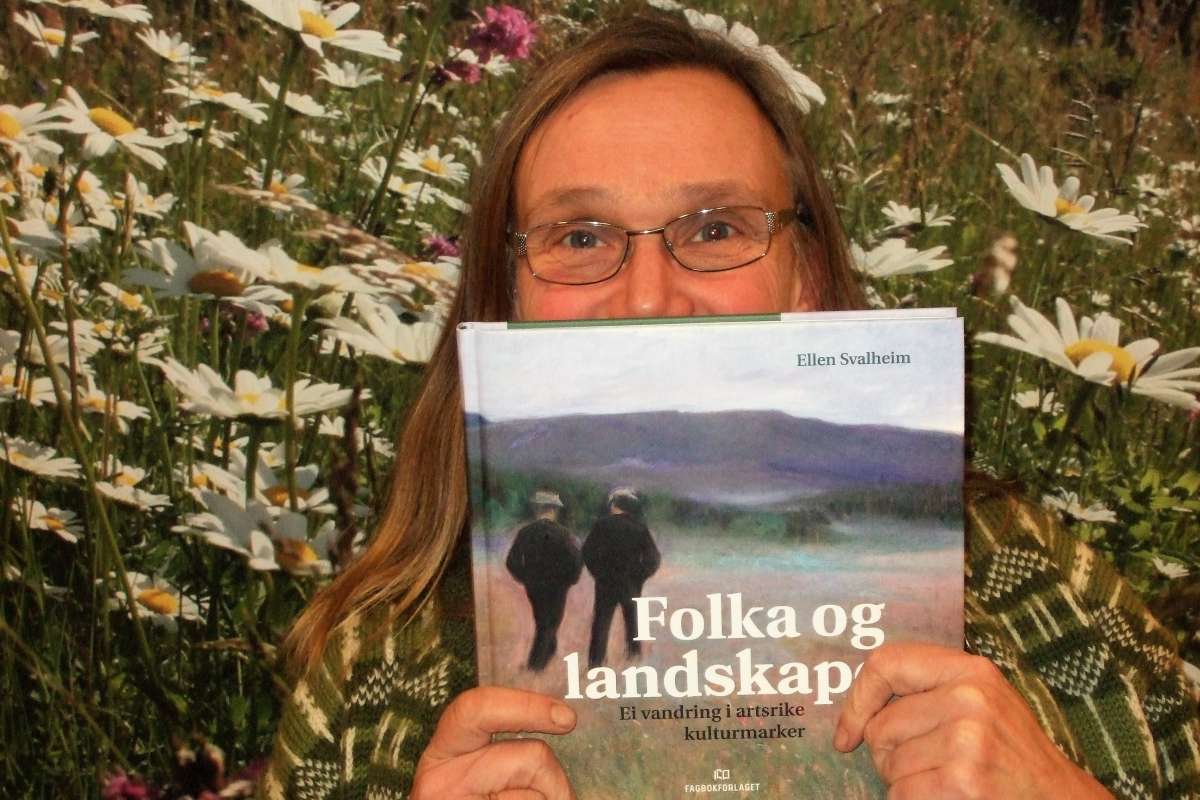
Vi skal rundt 6 000 år tilbake i tid for å finne de eldste sporene etter dyrking og husdyrhold i Norge. I en ny bok forteller forsker Ellen Svalheim historien om de som forvandlet landskapet slik at det ble mulig å overleve her nord.