
Morgane Merlin
Research Scientist
Abstract
Faglig innlegg
Abstract
Arealbrukssektoren (LULUCF) omfatter arealbruk og arealbruksendringer, med tilhørende utslipp og opptak av CO₂, CH₄ og N₂O. Framskrivningene bygger på Norges rapportering til FNs klimakonvensjon (NID 2026) og i hovedsak på observerte data for referanseperioden 2011–2024. De representerer en «business as usual»-utvikling basert på vedtatt politikk. Utviklingen levende biomasse, død ved, strø, og mineraljord i skog er framskrevet med SiTree og Yasso20 under klimascenarioet RCP 4.5. Netto opptak har gått ned siden toppårene 2008–2010. I referanseperioden var gjennomsnittlig netto opptak 14,5 mill. tonn CO₂-ekv. per år. Framskrivningene viser videre nedgang til om lag 2,2 mill. tonn per år i 2030–2050, før opptaket øker til 7,0 mill. tonn per år i 2090–2100. Utviklingen styres i stor grad av netto opptak i skog. Dyrka mark, utbygd areal, beite samt vann og myr er netto utslippskilder, og forventes å forbli det. De største utslippene kommer fra drenert organisk jord og avskoging, særlig til utbygd areal. Under EUs LULUCF-regelverk forventes et samlet underskudd mot netto-null-målet på om lag 11,1 mill. tonn CO₂-ekv. for 2021–2025. En evaluering av maskinlæringsmodeller for vekst og mortalitet tyder på at dagens metode kan overvurdere biomasseoppbyggingen i skog. En følsomhetsanalyse viser at 20 % økt hogst kan gjøre sektoren til en netto utslippskilde innen ca. fem år. Usikkerheten øker betydelig mot slutten av tidsserien.
Abstract
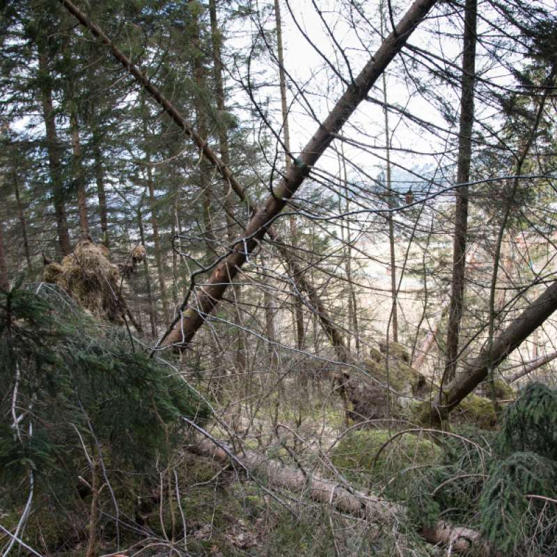
Formålet med denne rapporten var å bruke matematiske modeller for å simulere utvikling i skog med alternative skogbehandlinger og sammenlikne dem med hensyn på omfang av vindskader. Vi spesifiserte fire alternativer som verdiorientert og stabilitetsorientert rotasjonsskogbruk, bledningsskogbruk og skjøtselsbelter langs kraftlinjer. Vi kjørte simuleringen på et 30 km2 område sør for Kongsvinger. Vi brukte modellene Heureka for å simulere bestandsutvikling i 5-årsperioder over 100-år, ForestGales for å beregne kritisk vindstyrke og beregnet volum vindskade ved å kombinere dette med frekvensfordeling for vindstyrke i området. Simuleringene gav en tydelig rangering av skogbehandlingsalternativene. Bledning gav 4,5 ganger mer skadevolum enn verdiorientert skogbehandling som igjen gav tre ganger mer enn stabilitetsorientert. Langs kraftlinjene ble vindskader omtrent eliminert ved å ha skjøtselsbelter med ekstra lav utgangstetthet og sluttavvirkning ved 18 m høyde. Ved å også se på volumproduksjon i sammenlikningene ble rangeringen lite endret. Bledning gav lavest volumproduksjon og verdiorientert skogbehandling gav kun 4% høyere produksjon enn en stabilitetsorientert. Vi konkluderer med at bledning fører til mer vindskader enn rotasjonsskogbruk, og at vi i rotasjonsskogbruk kan redusere skadeomfanget med lav utgangstetthet, ingen tynning og kort omløpstid. Langs kraftledninger kan vindskader nesten elimineres ved å gå enda lenger i samme retning.
Division of Biotechnology and Plant Health
FORESIGHT: Forest opportunities, risks and ecosystem services in a changing climate in Norway
Forest ecosystems are increasingly under pressure from climate change, emerging pests and pathogens, and more frequent extreme weather events. When such disturbances occur simultaneously—or interact with one another—the risk of severe damage can increase substantially. The FORESIGHT project aims to understand these complex, interacting challenges and to translate this knowledge into practical applications.
Division of Environment and Natural Resources
Precilience: Precision climate resilience for agriculture and forestry sectors in the European boreal regions
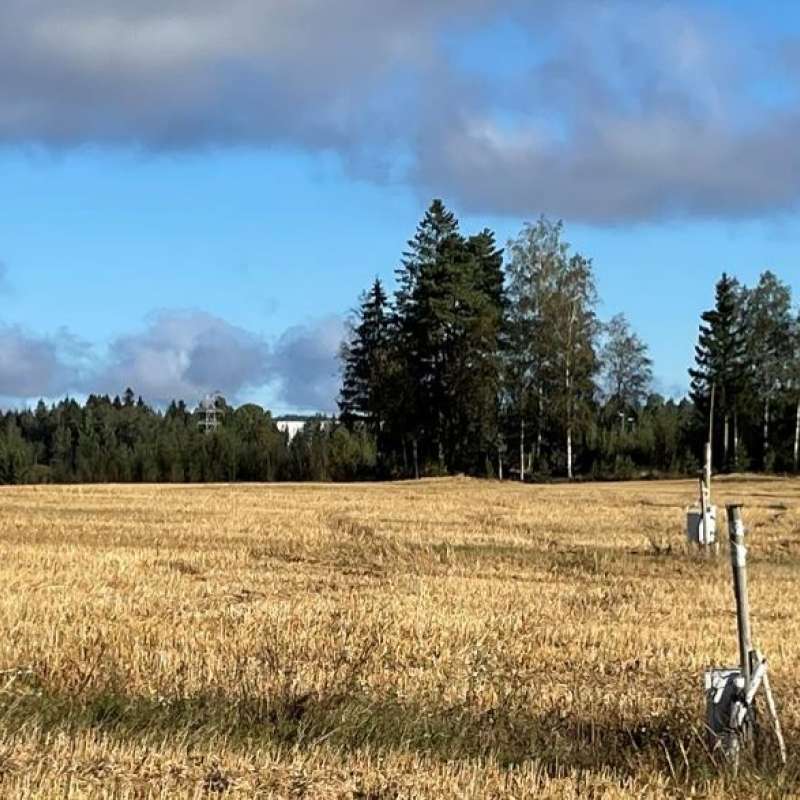
Precilience will develop precision solutions with farmers, foresters, landowners, and other actors to increase climate resilience in the Nordic-Baltic regions of Denmark, Estonia, Finland, Norway and Sweden.