Employees
Theme page


Publications
Abstract
No abstract has been registered
Abstract
No abstract has been registered
Abstract
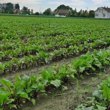
The moisture status of the upper 10cm of the soil profile is a key variable for the prediction of a catchment's hydrological response to precipitation, and of pivotal importance to the estimation of trafficability. Prediction, and even mapping, of topsoil water content is complicated, not in the least because of its large spatial heterogeneity. In IRIDA, an EU/JPI project, measurements, models and weather predictions will be applied to estimate the soil moisture status at the sub-field scale in near-real time. The project is in its early stages, during which the relevant parameters will be selected that will allow for soil moisture mapping on agricultural fields at a 10 m resolution.
Projects
Division of Survey and Statistics
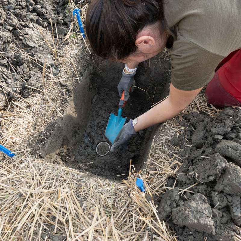
JordVAAK – Implementation of the Norwegian Agricultural Soil Monitoring Programme

Division of Environment and Natural Resources
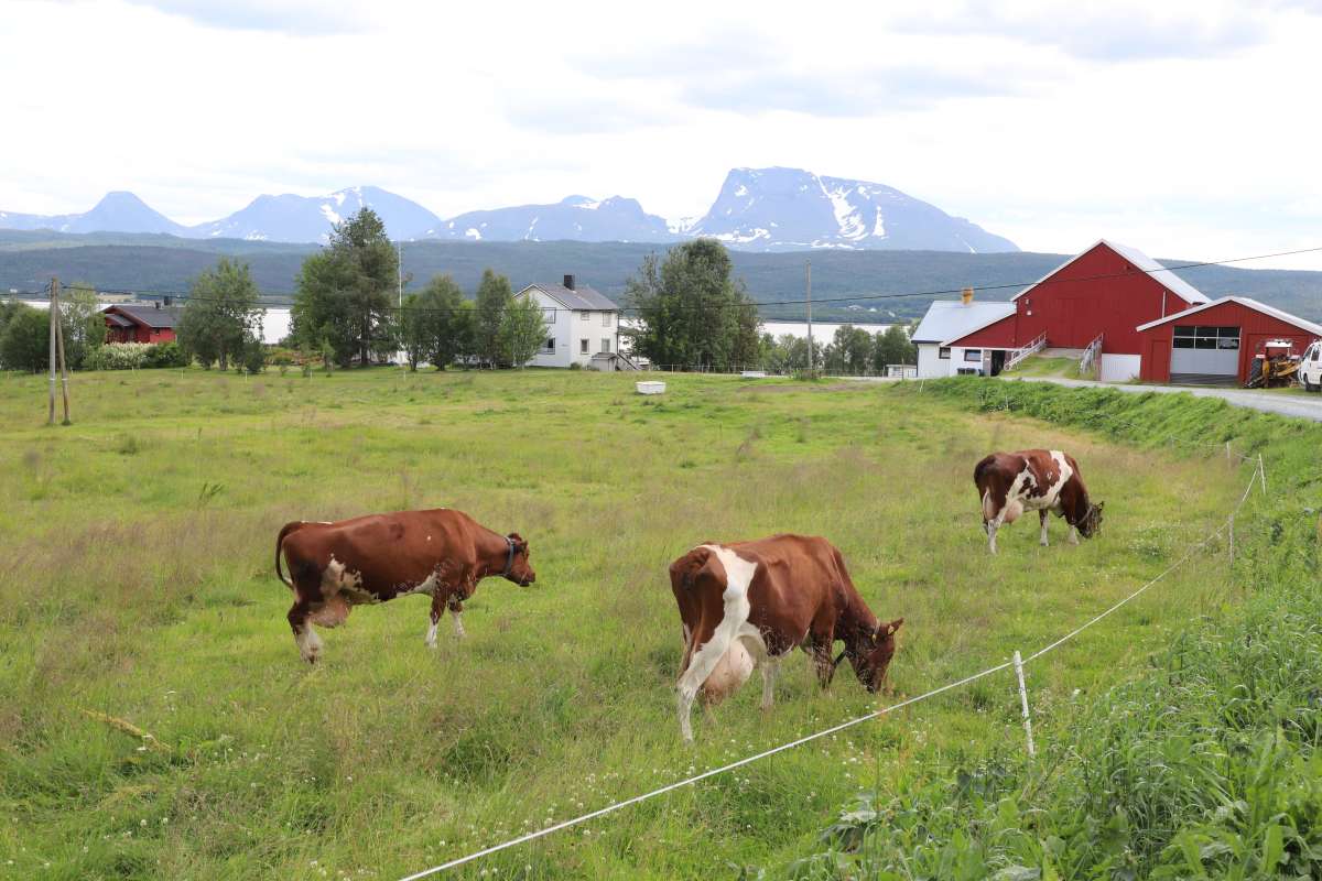
PREPSOIL
PREPSOIL facilitates the implementation of Mission Soil in Europe. This is done through co-creating and launching tools and venues for communication and learning, as well as through mapping and dialogue to understand how regional soil needs assessments, supported by harmonized monitoring mechanisms, can lead to action in Living Labs and Lighthouses.

.jpg?quality=60)
