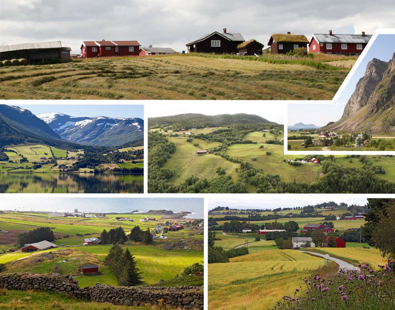
In the lead-up to the World Trade Organization (WTO) negotiations in 1999, the Norwegian authorities placed strong emphasis on what were known as non-trade concerns. This reflected a broader understanding of agriculture as more than simply a producer of food and fibre. Norwegian agriculture was also seen as contributing to food security, sustaining thriving rural communities, and providing valuable environmental benefits. The concept of multifunctional agriculture was used to capture these wider contributions of agriculture to society.
In this context, the Ministry of Agriculture commissioned a study to examine a range of issues related to multifunctional agriculture. As a basis for this work, Norway was divided into ten agricultural landscape regions. These were created by grouping together the country's 45 landscape regions as defined in the National Landscape Reference System.
While the landscape regions were primarily based on major landform characteristics, the agricultural landscape regions were designed to bring together areas with similar farming conditions. As a result, the natural landscapes within a single agricultural landscape region may vary considerably, whereas the conditions for agriculture are relatively consistent throughout the region.
The descriptions of the agricultural landscape regions are intended to provide a brief introduction to their farming systems, current state, key challenges and opportunities for the management of agricultural landscapes.