Topsoil: out of use does not mean unusable
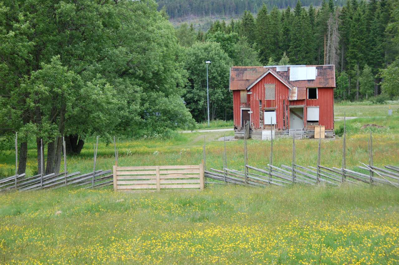
Photo: Anna M. Bjørken.
When government employees meet for surveying training courses, one of the topics of discussion is unused land areas.
Responsibility for updating maps of land and forest resources is shared at the local-government level by Norway’s administrative municipalities. It is
therefore vital to keep knowledge up to date. When topsoil is no longer being used, the land quickly takes on a rugged appearance. This can give
the impression that the area is no longer usable as farmland.
“Even if the land isn’t in use, it should still be registered as cultivated land so long as the land can be used,” explains surveyor and course leader Kjetil
Fadnes from NIBIO. Kjetil is out in the field with a group of agricultural representatives from various municipalities in Trøndelag.
“The map should show what the land can be used for—the land’s potential—rather than how it is currently being used. When mapping cultivated land,
it makes no difference whether there is barley growing there or flowers,” says Fadnes.
Maps of land and forest resources in Norway are based on a land resource classification system and should therefore show the condition of the land.
Fadnes points out buttercups and sorrel growing in the area surrounding the Egge museum in North Trøndelag. Their presence, he says, indicates that the
land will soon become overgrown. The field survey, however, found that the land could easily be plowed and put to use again. Therefore, the map should
indicate that this is cultivated land, not a pasture or anything else.
“It’s good to refresh my knowledge before I go out on inspection later this summer. I learn something new every time,” says Anne Mette Haugan, director of agriculture for Vikna Municipality.
NIBIO is responsible for the land resource map and organizes annual field trips for the municipalities. Although, not all of Norway’s 18 counties receive a visit every year. Roughly six field trips are held each year.
An area’s condition can change quickly if land is cultivated or degraded. Impact assessments, land planning, legal cases and applications for various
agricultural subsidy programs are all based on the same maps, which must therefore provide as accurate a picture as possible.
Contacts

Kjetil Fadnes
Lead Engineer
-
Division of Survey and Statistics
(+47) 906 01 894 kjetil.fadnes@nibio.no Office Location: Ås O43
Contacts
Kjetil Fadnes
Lead Engineer
-
Division of Survey and Statistics
(+47) 906 01 894 kjetil.fadnes@nibio.no Office Location: Ås O43