The need for feed
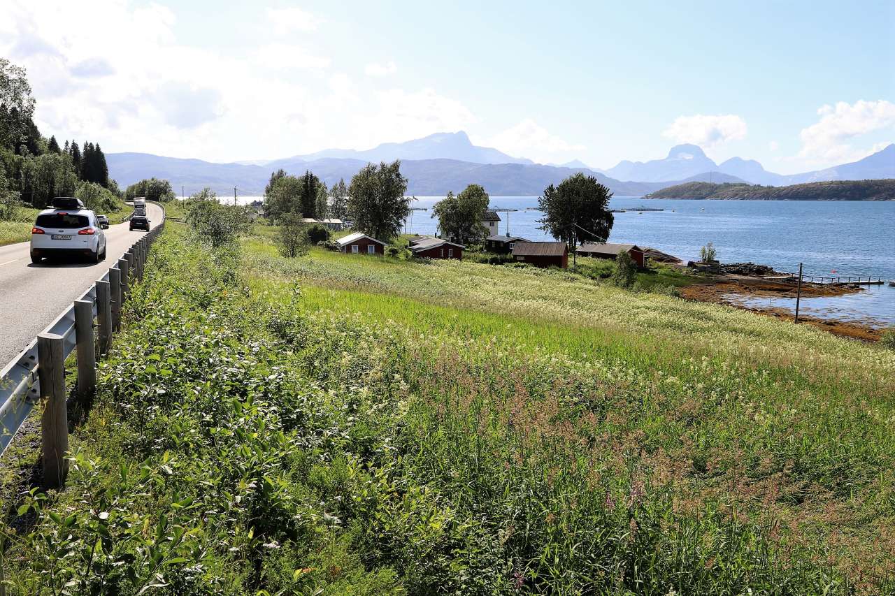
Photo: Oskar Puschmann.
Can disused land become part of Norway’s food preparedness plan? This year’s dry summer revealed the need for a survey of disused grasslands. Experts at NIBIO answered the call.
They found that approximately nine percent of all cultivated land in Norway, or 800,000 acres, consists of disused grassland. The land is out of use but could still function as a national grass reserve.
A dry summer and fodder crisis put the climate at the top of the agenda. The media was filled with images of scorched fields and animals with no grass to eat. Lands that had not been used in years suddenly became useful.
This was the situation that set two NIBIO statisticians searching for livestock feed. Human geographer Henrik Forsberg Mathiesen elaborates:
“We have to prepare ourselves for the unexpected. If not a drought, it could be heavy rain or other climatic changes that present a need for alternative food sources when crisis strikes. So we need to know where those areas are and how big they are,” he says.
The answers to these questions can be found by matching data from the National Land Resource Map AR5 with property data from the Norwegian Mapping Authority and records of applications for agricultural production grants.
“When the farmers submit the applications, they have to state which lands they are seeking grants for and how big they are. That way we get a picture of the areas in use,” Mathiesen explains.
Total agricultural land minus the total of the lands farmers are seeking grants for = land that is out of use.
A national responsibility
There are calls for this survey to become a national responsibility, prepared on a regular basis. Geir Harald Strand, professional coordinator at NIBIO, is open to the idea:
“Statistics like the ones we have developed can help local agricultural management and farmers to find available areas and therefore to increase production,” says Strand.
As part of a food preparedness effort, it could make sense to utilise these areas, even if there is no active agriculture there.
The statistics can also be used in policy development and in selecting the tools to combat future fodder crises.
Contacts

Henrik Forsberg Mathiesen
Senior Adviser
-
Division of Survey and Statistics
(+47) 959 60 161 henrik.forsberg.mathiesen@nibio.no Office Location: Ås O43
Contacts
Henrik Forsberg Mathiesen
Senior Adviser
-
Division of Survey and Statistics
(+47) 959 60 161 henrik.forsberg.mathiesen@nibio.no Office Location: Ås O43