Division of Forest and Forest Resources
CARISMA
End: dec 2021
Start: jan 2016
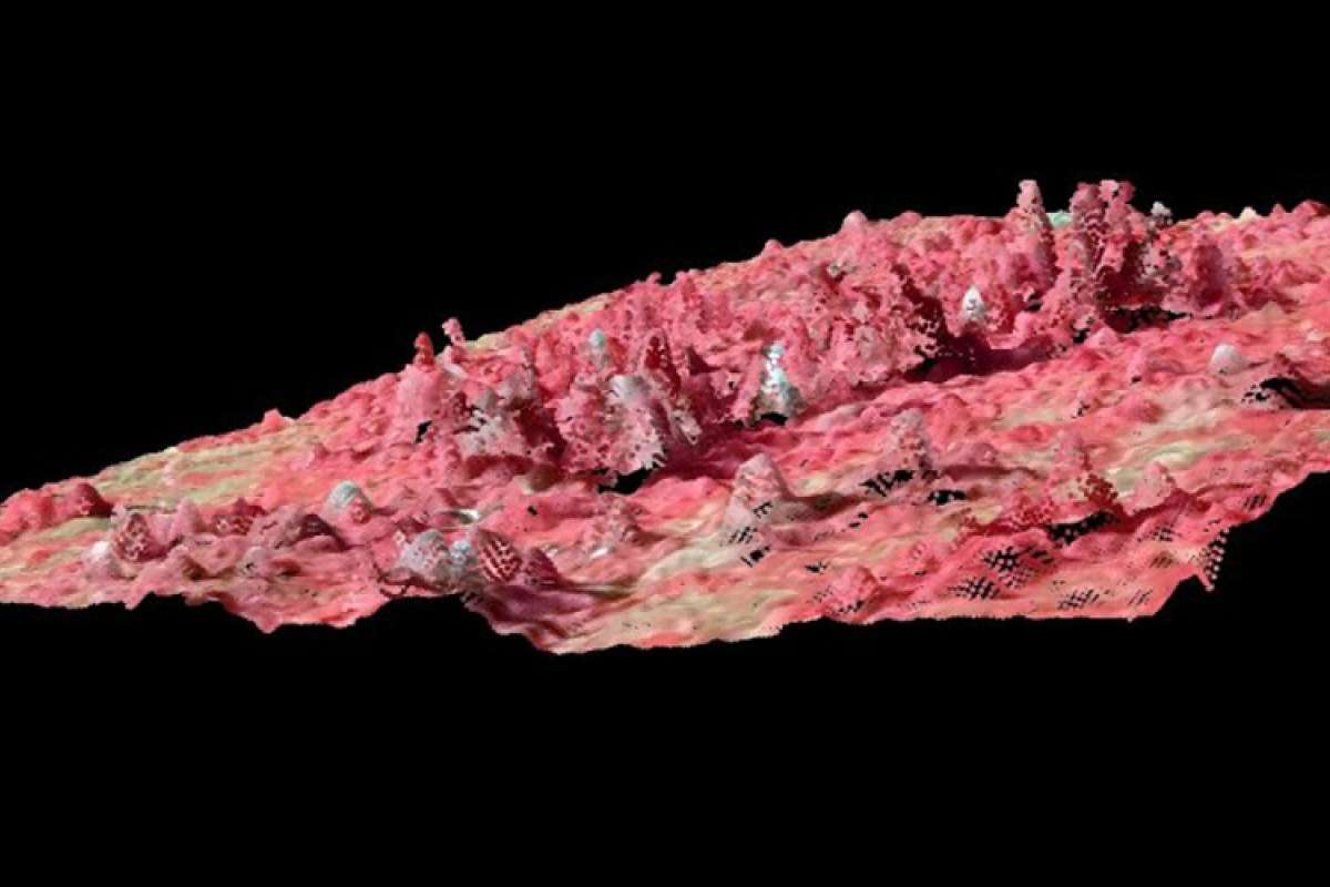
CARISMA - A graphical overview of the project structure
Organization
Steering group:
- Annika Kangas, Professor, LUKE, Finland
- Mats Nilsson, Senior researcher, SLU, Sweden
- Vivian Kvist Johannsen, Senior researcher, UC, Denmark
- Johannes Breidenbach (project leader), Senior researcher, NIBIO, Norway
Current list of participants and competence areas
Norway:
- Johannes Rahlf, PhD student, NIBIO, 3D remote sensing and modelling
- Rasmus Astrup, Director of forest research, NIBIO, modelling and survey methodology
- Svein Solberg, Senior Researcher, 3D (SAR) remote sensing and modelling
- Johannes Breidenbach, NIBIO, 3D remote sensing, modelling and survey methodology
- Sakari Tuominen, researcher, Luke, 3D remote sensing
- Mari Myllymäki, researcher, Luke, 3D remote sensing, spatial modelling
- Kai Mäkisara, researcher, Luke, remote sensing, modelling and mapping
- Annika Kangas, professor, Luke, survey methodology, modelling
- Jonas Bohlin, PhD student, SLU, 3D remote sensing
- Heather Reese, researcher, SLU, remote sensing and mapping
- Håkan Olsson, Professor, SLU, remote sensing
- Henrik Hedenås, researcher, SLU, modelling and monitoring
- Göran Ståhl, Professor, SLU, survey methods and modelling
- Mats Nilsson, SLU, remote sensing, mapping and survey methodology
- Thomas Nord-Larsen, Senior researcher, UCPH, survey methodology and 3D remote sensing
- Vivian Kvist Johannsen, Senior researcher, UCPH, survey methodology, landuse assessment, multi-purpose mapping
- Ole H. Caspersen, Senior Researcher, UCPH, GIS and landscape analyses, remote sensing
- Johannes Schumacher, researcher, UCPH, 3D remote sensing
| External project link | SNS blog |
| Start - end date | 01.01.2016 - 31.12.2021 |
| Project manager | Johannes Breidenbach |
| Division | Division of Forest and Forest Resources |
| Department | National Forest Inventory |
| Total budget | 1.75 million SEK |
| Funding source | Nordic Forest Research (SNS) |
Summary
The acronym CARISMA stands for virtual Center of Advanced Research for the innovative use of 3D remote sensing in mapping of forest and landscape attributes based on national forest inventories.
Directly participating institutions are the Finnish Natural Resources Institute (LUKE), the Swedish University of Agricultural Sciences (SLU), and the University of Copenhagen (UCPH), and the Norwegian Institute of Bioeconomy Research (NIBIO) who leads the CAR. CARISMA is funded by SNS from 1 January 2016 until 31 December 2020. Workshops, conferences, common research proposals, and research exchanges will be the direct output of CARISMA.
Several ongoing and interacting developments cause considerable challenges to our societies in general and to the forest sector specifically.
- Climate change requires mitigation and forest adaptation strategies that need to be implemented locally.
- The foreseeable end of non-renewable resources results in the need to generate future wealth based on the sustainable use of natural resources in a bioeconomy.
- Globalization constantly forces private companies and the public administration to become more efficient to remain competitive in order to provide work to people.
Aim of this CAR is to provide a common platform to streamline research activities in the involved countries by the exchange of researchers on conferences, workshops, or scientific missions. The collaboration is also expected to result in joint project proposals to increase the available research funds in the scope of this proposal. A graphical overview of the project structure can be found below on the Organization tab.
Publications in the project
Authors
Johannes BreidenbachAbstract
No abstract has been registered
Authors
Johannes BreidenbachAbstract
No abstract has been registered