The Department of Land Inventory has technical responsibility for the National Land Resource Map (AR5) and the internet mapping services Kilden (The Source) and Gårdskart (Farm maps). The Department also represents the agricultural sector in national mapping cooperation.
The Department provides updated and readily available information about land resources in Norway through:
The National Land Resource Map (AR5)
Technical responsibility for the AR5 map with detailed information on Norway's land resources.
Responsibility for training courses for the municipalities.
Internet Map Services
The Department owns and is responsible for technical support and further development of:
Farm Maps (Gårdskart)
Provides maps of land resources, and area statistics for farms.
Provides Norway's agricultural enterprises with information used in applications for area based subsidies.
The Sourse (Kilden)
Interactive map system, presenting most of NIBIO’s geographical data, together with a selection of other relevant national datasets.
Users can download NIBIO maps and data for their own use.
National Mapping Cooperation
On behalf of the Ministry for Food and Agriculture, NIBIO represents the agricultural sector's needs and interests in national mapping cooperation.
Participating in Geovekst and Digital Norway.
Participating in public management of National orthorectified remote sensing imagery.
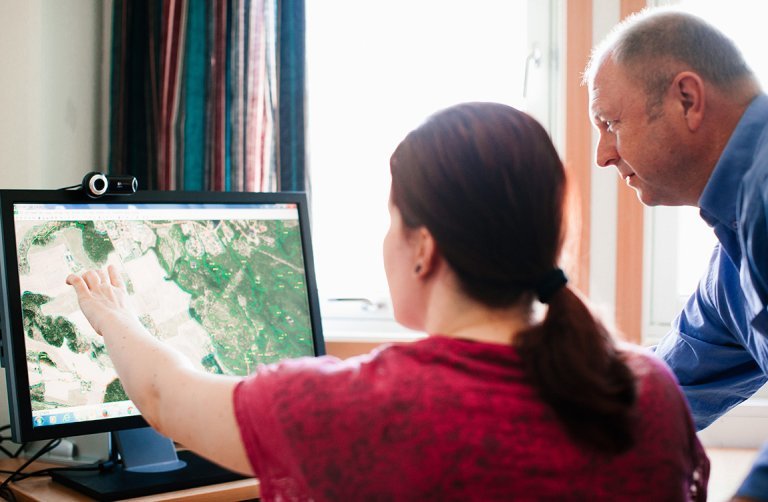
Work with different digtal maps. Photo: Thomas Eckström.
Training municipalities in updating the National Land Resource Map in scale 1:5000 is an important task for the Department of Land Inventory. Photo: Thomas Ekström.