Over the last decades, remote sensing technology for earth and environmental observations has advanced to a powerful tool to rapidly gather information about objects and phenomena in various disciplines like hydrology, ecology, oceanography, and many more.
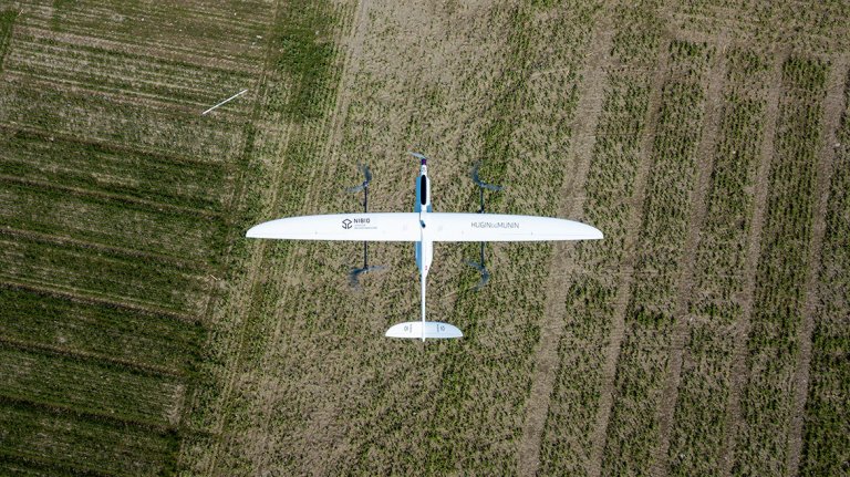
A relatively modern approach includes the use of remotely piloted aircraft systems (RPAS) that are equipped with a wide range of sensing systems like multi- and hyperspectral imagers, laser scanners or thermal cameras. RPAS enable flexible and objective information retrieval at high spatial and temporal resolutions.
Moreover, they offer possibilities for affordable applications in remote and obstructed locations (e.g. monitoring of wildlife, transportation of important goods, application of fertilizer and pesticides, etc.).
All these positive abilities make RPAS an ideal aid for many purposes in environmental research and for practical applications.
NIBIO researchers use RPAS in many different disciplines. Please follow the links for more specific information on the different subjects.
NIBIO follows the regulations and guidelines of the Norwegian Civil Aviation Authority and is represented by an accountable RPAS manager.