New map for vegetables, grain and grass
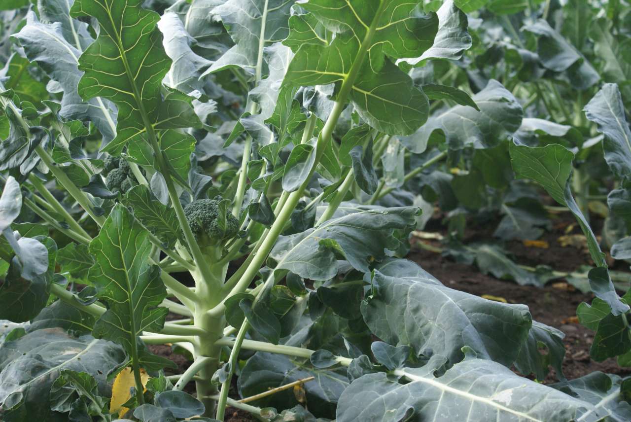
Photo: Hilde Olsen
Norway has a huge variety of natural conditions for plant cultivation. To ensure sustainable Norwegian food production, the land with the greatest potential for plant cultivation must be used for food production.
In 2020, NIBIO presented new maps showing the cultivation potential for vegetables, grain and grass in different parts of the country.
"The new maps are an important contribution toward achieving conscious land use, and will help make Norwegian food production more sustainable," says project manager Siri Svendgård-Stokke.
The model behind the maps is based on soil properties, weather data and the seasonal requirements for crops.
Because the model relies on soil data, the maps are only available for areas on which agricultural soil surveys have already been performed — in other words, approximately half of the country's agricultural land.
The aim is that farmers achieve successful production within their production environment.
In the past, knowledge about soil was passed down from generation to generation. In modern agriculture, with much of the land being leased, that is no longer the case. It is therefore becoming increasingly important to find alternative ways of imparting this knowledge.
It is also important for decision-makers to be aware of the land's food production potential when making political decisions on the use of agricultural land for purposes other than agriculture.
The maps can be used as a basis for analyses of the land's value and suitability for different crops when there is competition for the land, or to assess market potential, production environments and sales channels.
The maps are welcomed by Olaug Bollestad, Minister of Agriculture and Food:
"Consumers are demanding more and more fruit and vegetables. When farmers and the public administration set out to meet this demand, the new maps will be an excellent aid," says the minister.
Contacts

Siri Svendgård-Stokke
Head of Department
-
Division of Survey and Statistics
(+47) 478 14 011 siri.svendgard-stokke@nibio.no Office Location: Ås O43
Contacts
Siri Svendgård-Stokke
Head of Department
-
Division of Survey and Statistics
(+47) 478 14 011 siri.svendgard-stokke@nibio.no Office Location: Ås O43