
Soil Mapping
NIBIO is responsible for the nationwide mapping of soil on cultivated land. The purpose of this soil mapping is to document and pinpoint the properties of the soil as a resource. Soil information creates a foundation for knowledge-based decisions within agronomy and area planning. This information is also pertinent to risk assessments related to the environmental impacts of agriculture
Soil
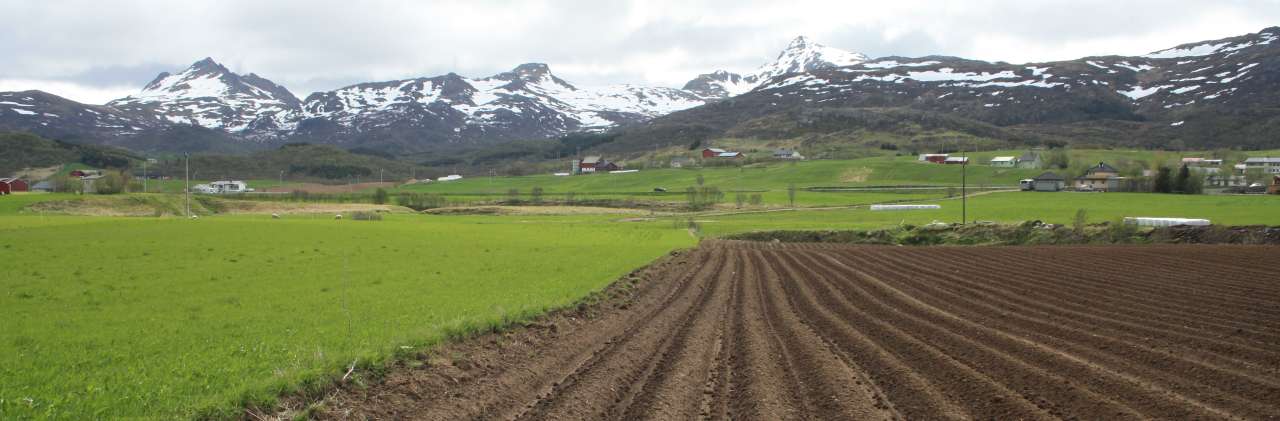
Soil is a composition of mineral particles, organic material, air and water. Soil is developed through interaction over time between factors including climate, topography, parent material, plants, animals and human activity. All these factors are location-specific, and the soil in a given location is therefore a result of how these different factors interact in that specific location. Soil therefore has a large degree of variation in characteristics. These properties can, for example, affect the area’s risk of erosion and how well grain crops grow in the soil.
Soil mapping
NIBIO maps the soil to record the properties of cultivated and surface-cultivated soil according to standardized, international methods. Approximately 100 km² are mapped per year. From the 1980s until 2013, a detailed methodology was used, with emphasis on the original material from which the soil was formed.
Between 2013 and 2017, two different methodologies were used: detailed and simplified. In 2018, the best aspects of these two methodologies were combined into one methodology. In the future, all mapping will be carried out according to this methodology.
In the field, various soil types are identified using soil augers. The original material, texture (particle size), amount of organic material, degree of natural soil drainage, soil depth and soil development are evaluated. The minimum allowable area was 4,000 m², and the latest boundaries from the National Land Resource Map (AR5) are directly used.
Simplified mapping was implemented in 2013 and was developed further in 2015. Simplified mapping required a greater minimum area in order to distinguish the individual soil types (10,000 m²) and used the classification system (World Reference Base for Soil Resources) to a greater extent during field work.
Processing and analysis
Results from the soil mapping are added into the soil database and the profile database. Based on models and the use of sources such as meteorological data, this information is used to create a wide range of thematic maps for various purposes. These are presented in NIBIO’s map services The Source and Farm Maps (Norwegian map services).
The maps are useful for many purposes and for many different end users: the agricultural industry itself, advisors, and administrators in different sectors and at different levels.
NIBIO’s work is also part of the national collaborative project Norway Digital, and the Institute is responsible for international reporting on Norway’s soil.
To ensure sustainable use of our soil resources, we must make knowledge-based decisions about their usage. Soil mapping can contribute to this.